Study and Design of Al Jubail - Al Qassim Expressway
KEY FACTS
Services:
• Study, preliminary and final design
Country:
Kingdom of Saudi Arabia
Client:
Ministry of Transport
Completion date:
October 2009
Characteristics:
• 428 km of expressway
• 20 interchanges
• 30 bridges
• 4 camel crossings
GALLERY


In the aim of developing a modern and efficient national road network, engineering studies and design have been carried out by ITALCONSULT for the construction of two new expressways Hail / Baqaa / Al Zubayrah / Hafr Al Baten road and Al Jubail / Al Qasim Expressway.
Both roads start from the center of the Kingdom of Saudi Arabia (Hail Region and Al Qasim Region) and end in the eastern region.
HAIL/BAQAA/AL ZUBAYRAH/HAFR AL BATEN ROAD:
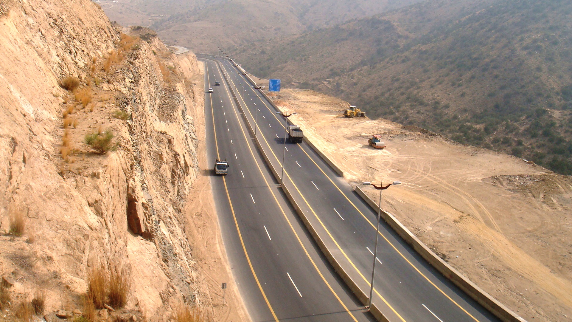
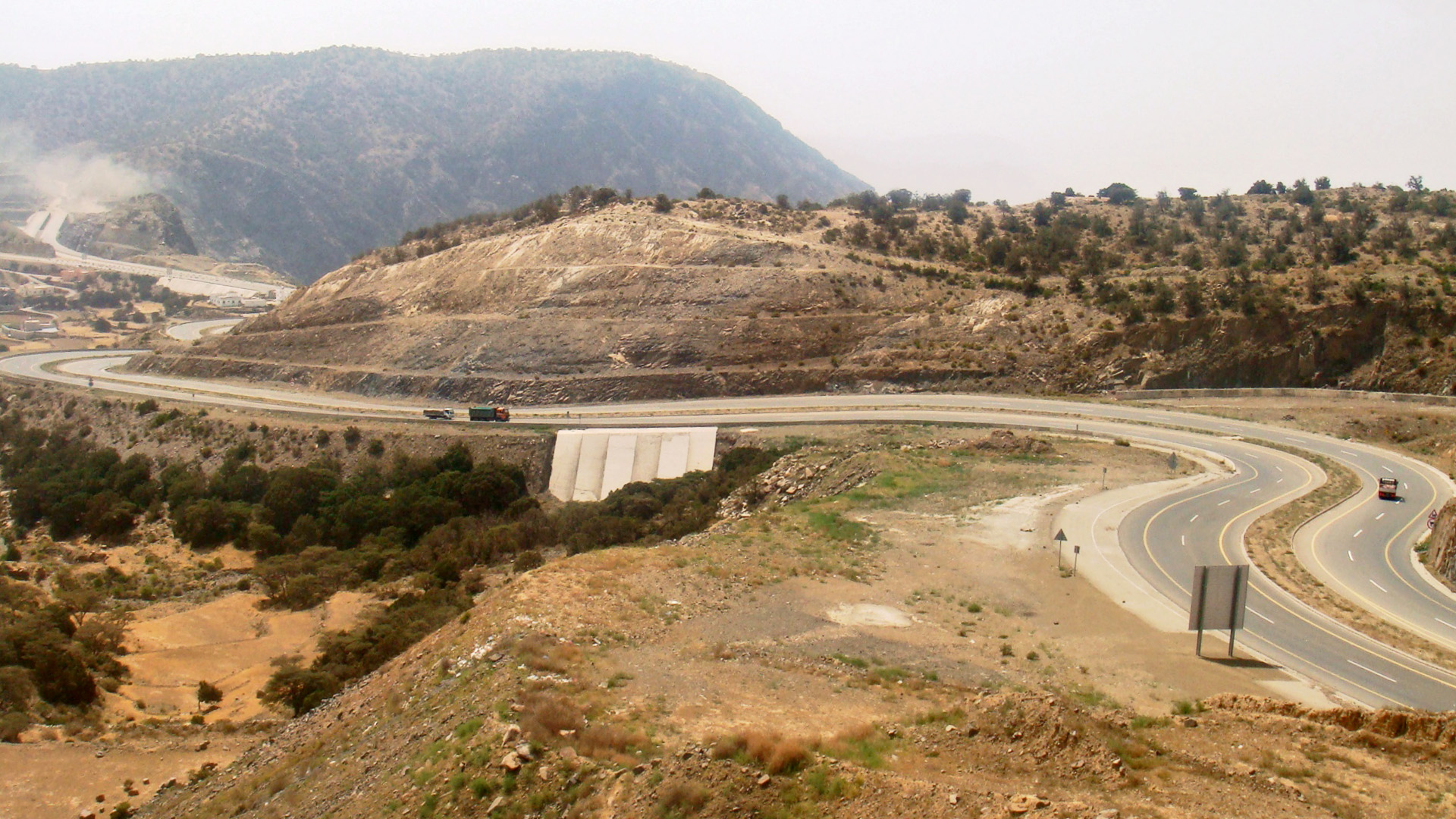
The alignment studied for the expressway linking Ha’yel-Baqa’a to Hafr Al Batin (total length of 350 km) starts at the end of the section Ha’yel-Baqa’a in the centre of the town of Baqa’a. From this point, the alignment runs for 15 km eastward, bypasses to North the village of Al Muyyah (Km 40) and proceeds again in an eastward direction up to Km 75. From Km 75 up to Km 180 it runs in southeast direction bypassing the mining area of Az Zabyra, crossing a sand dune area from Km 118 to Km 130 and a planned railway corridor (Km 148).
From Km 180 the alignment heads directly up to Km 330 where it meets Al Majmah-Hafr Al Batin Road, running virtually parallel to the planned railway corridor South of Umm Ishar Village along the existing road between the King Khaled Military City and the Firing Range.
The typical cross-section of the expressway is: 2x3-lanes, 3.65 m each, 2.0 m inner shoulders, 3.0 m external fully paved shoulders and 16 m median. Twenty interchanges, 20 bridges (seismic standards, 20 m spans), and 10 bridges (30.08 m deck, 2x13 m x2.04 m, and 4 spans 22.10 m and 30.90 m) camel crossings located at strategic points are included.
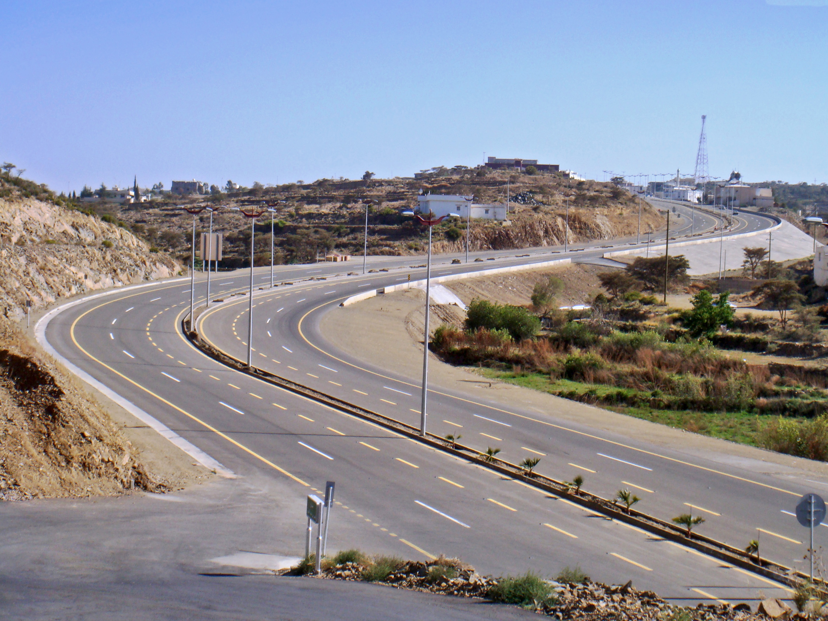
AL JUBAIL / AL QASIM EXPRESSWAY
In the frame of the development of a modern and efficient national road network, engineering studies and design have been carried out for the construction of a new expressway (2x3-lane, 3.65 m each) connecting Al Jubail with Al Qassim about 500 km away.
The alignment branches off the existing Riyadh-Qassim Expressway, about 100 km from the southern edge of the Al Qassim Ring Road immediately after the intersection with the road linking Al Ghat and Zulfi. It develops for the first 53 km in rolling terrains with small hills and ridges of medium height; from km 53 to km 215 crosses flat areas with stones and scattered sand dunes highs up to 30 m, and from km 215 to km 428 flat areas with scattered sand dunes up to 3 m. On the whole the new expressway for 206 km belongs to the Riyadh Region and for 222 km to the Sharqiyah Region.
The new expressway includes twenty interchanges, 15 p.r.c./r.c. bridges (seismic/standard and 20 m spans) and 15 bridges (30.08 m deck, 2 x [13 m + 2.04 m] and 4 spans [2 x 22.10 m + 2 x 30.90 m]) camel crossings properly located.